
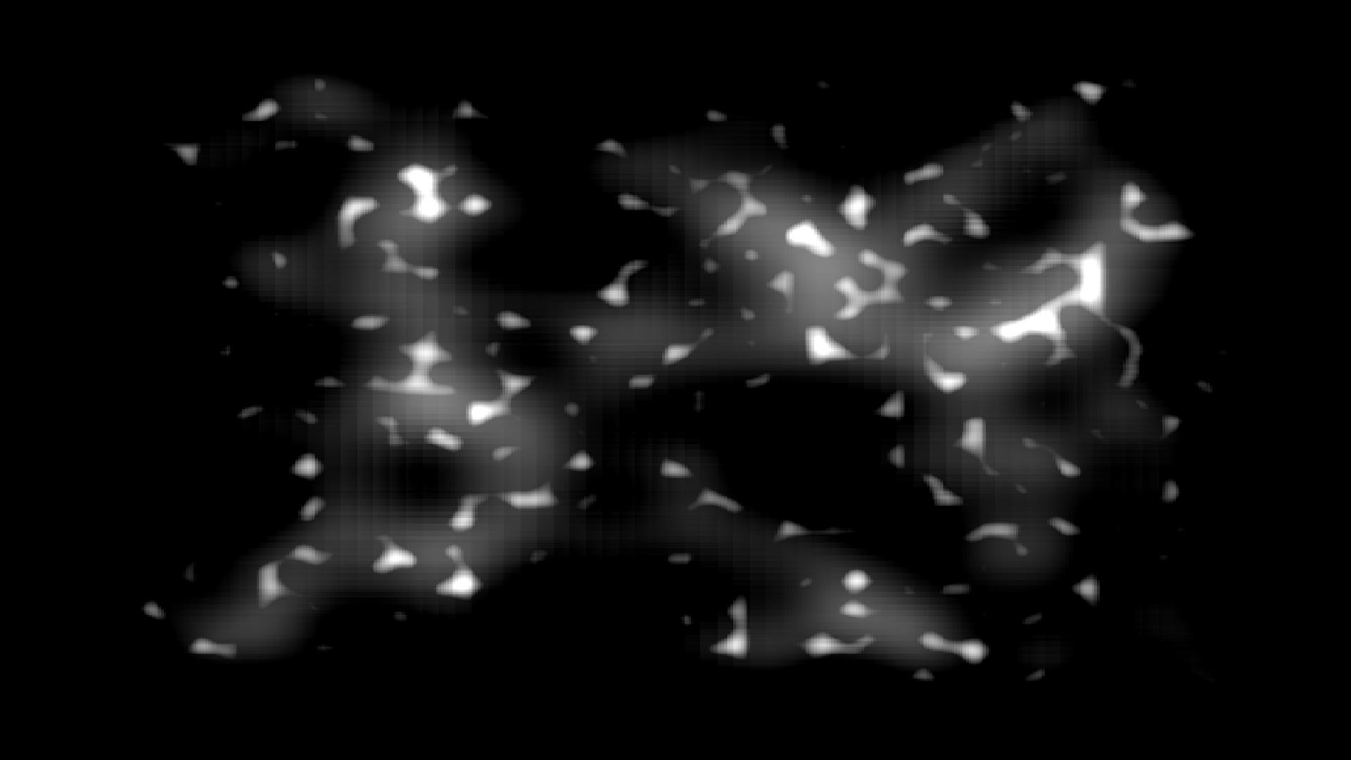
Elevation map
First step is adding gradient/perlin noise layers to generate the elevation map.
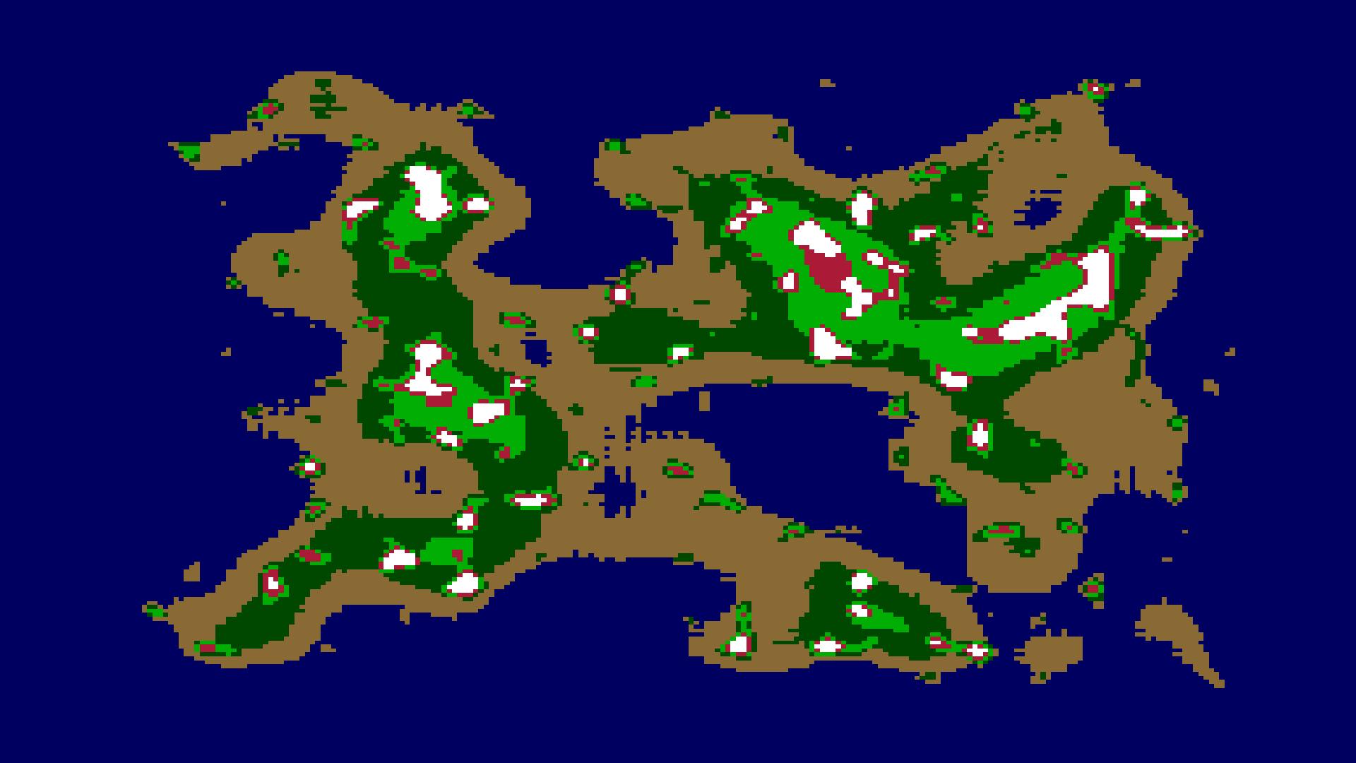
Altitudinal zones
The elevation map is segmented in altitudinal zones.

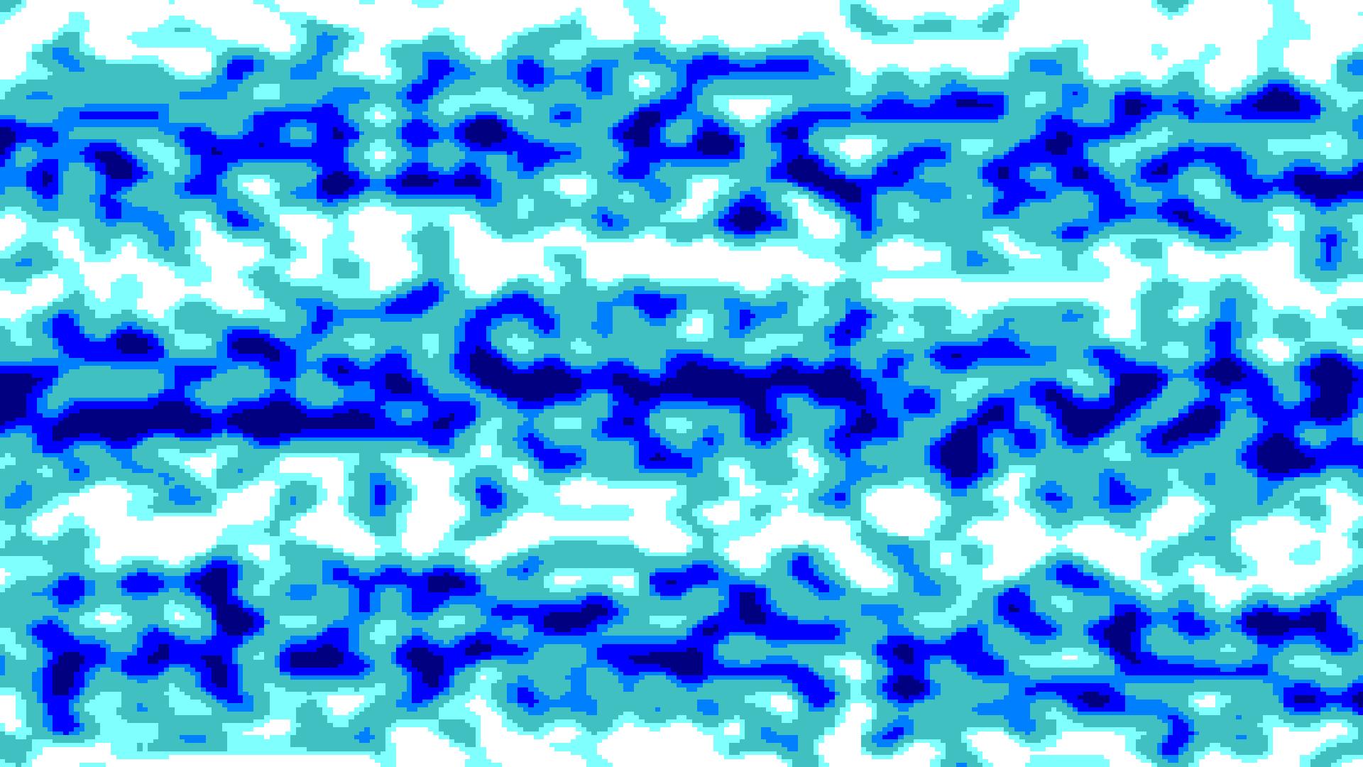
Latitudinal zones
Similar to earth, the map is divided in latitudinal zones: intertropical, temperate and polar. This determines the temperature of the land.
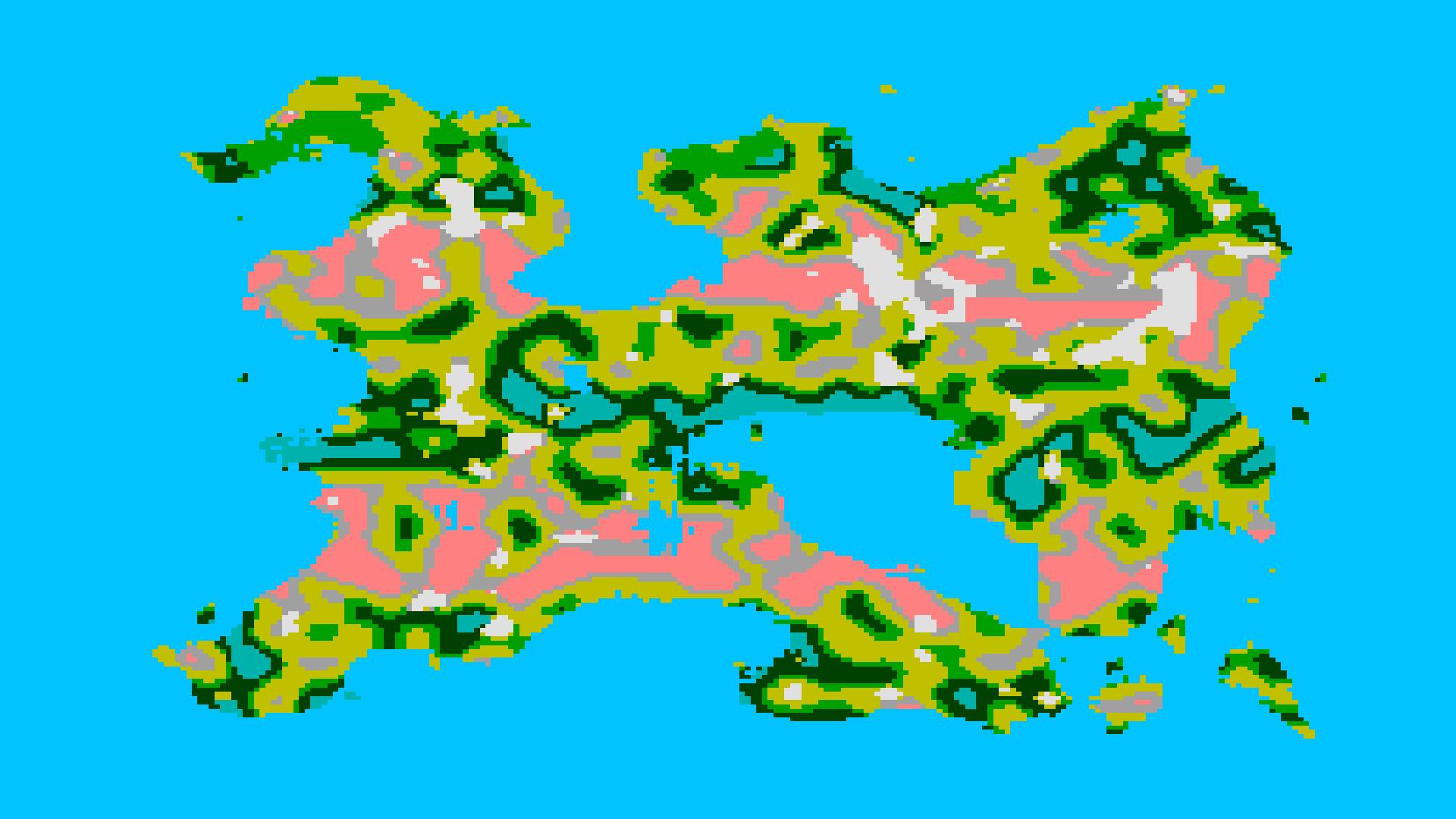
Precipitation zones
Humidity is determined by the precipitation, again similar to earth two dry strips cross the map horizontally.
Biome selection
Using the previous data of elevation, latitude and precipitation, biomes are assigned to each cell on the map.
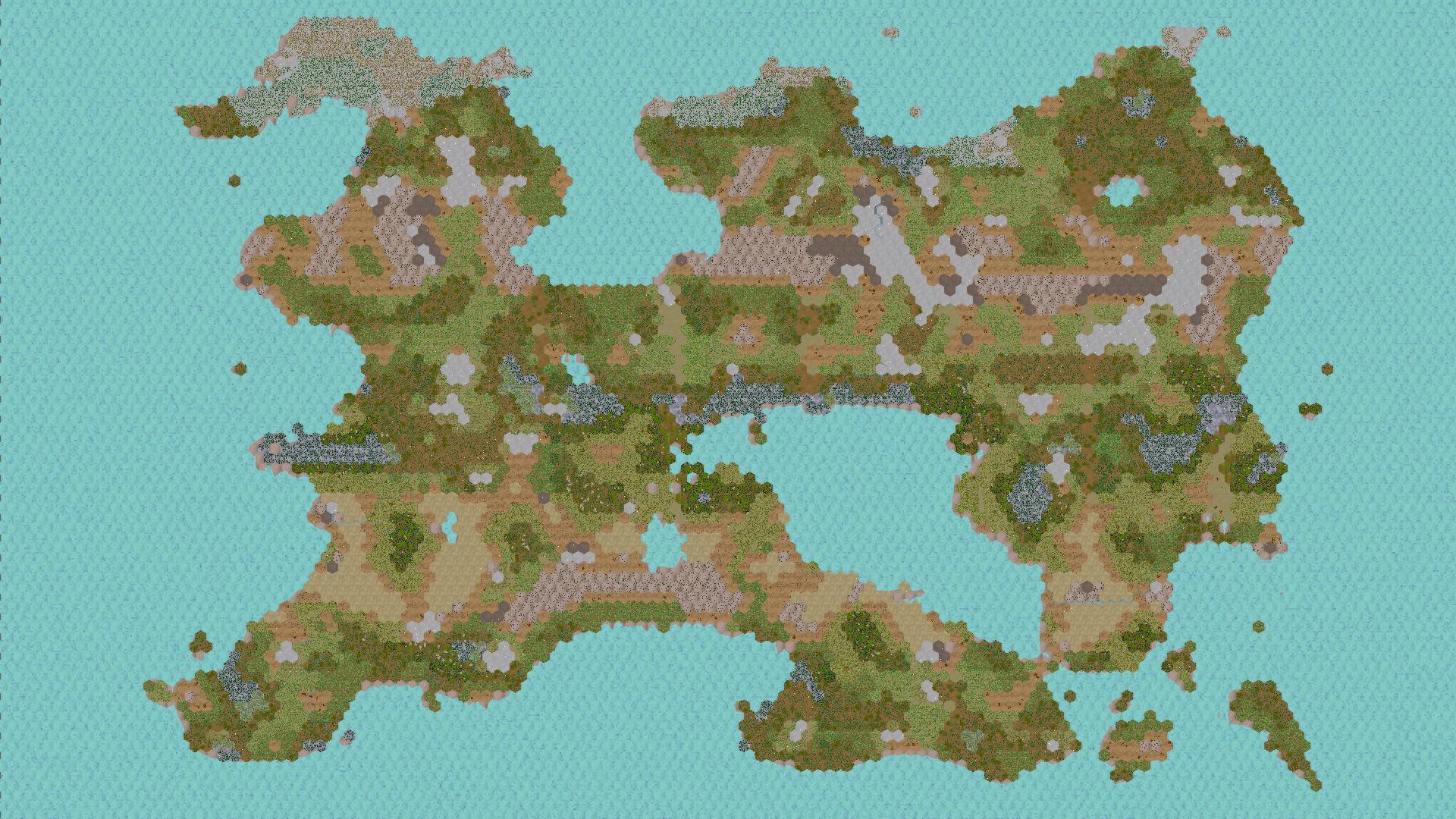
Mesh building
The terrain mesh is built based on the elevation and the biomes determine ground textures and vegetation.